Lleida surpasses the US and Germany in foreign-born population
23.9% of residents in the district were born outside Spain
La Veu Lliure

Check out the latest information about the Pyrenees: snow and ski resorts, roads and mountain passes, environment, tourism, and cooperation between Andorra, Catalonia, Spain, and France.
23.9% of residents in the district were born outside Spain
La Veu Lliure
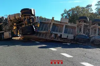
The sand-carrying vehicle had blocked both lanes, causing queues at kilometre 121
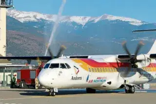
The group claims new international routes will increase pressure on the housing market
The vehicle was travelling on the RD66 road, and the driver has been sentenced to three years in prison and fined €270,000
The crash occurred early Friday afternoon, prompting the deployment of a medical helicopter, two ambulances, firefighters and police
Andorra is the only country entirely located within the Pyrenees. Its entire territory is mountainous, with Comapedrosa (2,942 meters) as its highest peak. The mountain range, stretching over 400 kilometers, extends from the Bay of Biscay to the Mediterranean and serves as a natural border between the Iberian Peninsula and the rest of Europe. Its highest point is Aneto, at 3,404 meters.
In this section, we gather current news affecting the mountains and the people who live there. We cover snow conditions and ski resorts status, traffic updates on roads and border crossings—especially on the C-14 and access points via La Seu d'Urgell and Pas de la Casa—as well as weather alerts during severe weather.
We also dedicate space to the environment and climate change, which impacts each winter's snowpack, forests, and water resources. Additionally, we feature natural heritage sites like the Madriu-Perafita-Claror Valley, designated a UNESCO World Heritage Site in 2004.
The Pyrenees cannot be understood without the connections among the territories that share them. We track cross-border cooperation between Andorra, Catalonia, Aragon, and Occitania, mobility and tourism projects, and decisions made on both sides of the border that affect the Andorran valleys.